


J&K High Court has directed Wular Conservation and Management Authority (WUCMA) to examine if the boundaries of the Wular lake in north Kashmir can be marked on the pattern of Dal lake.
A division bench of chief justice Gita Mittal and Justice Puneet Gupta directed the Authority to inform it about the steps taken for earmarking the boundary of the Wular Lake by September 23.
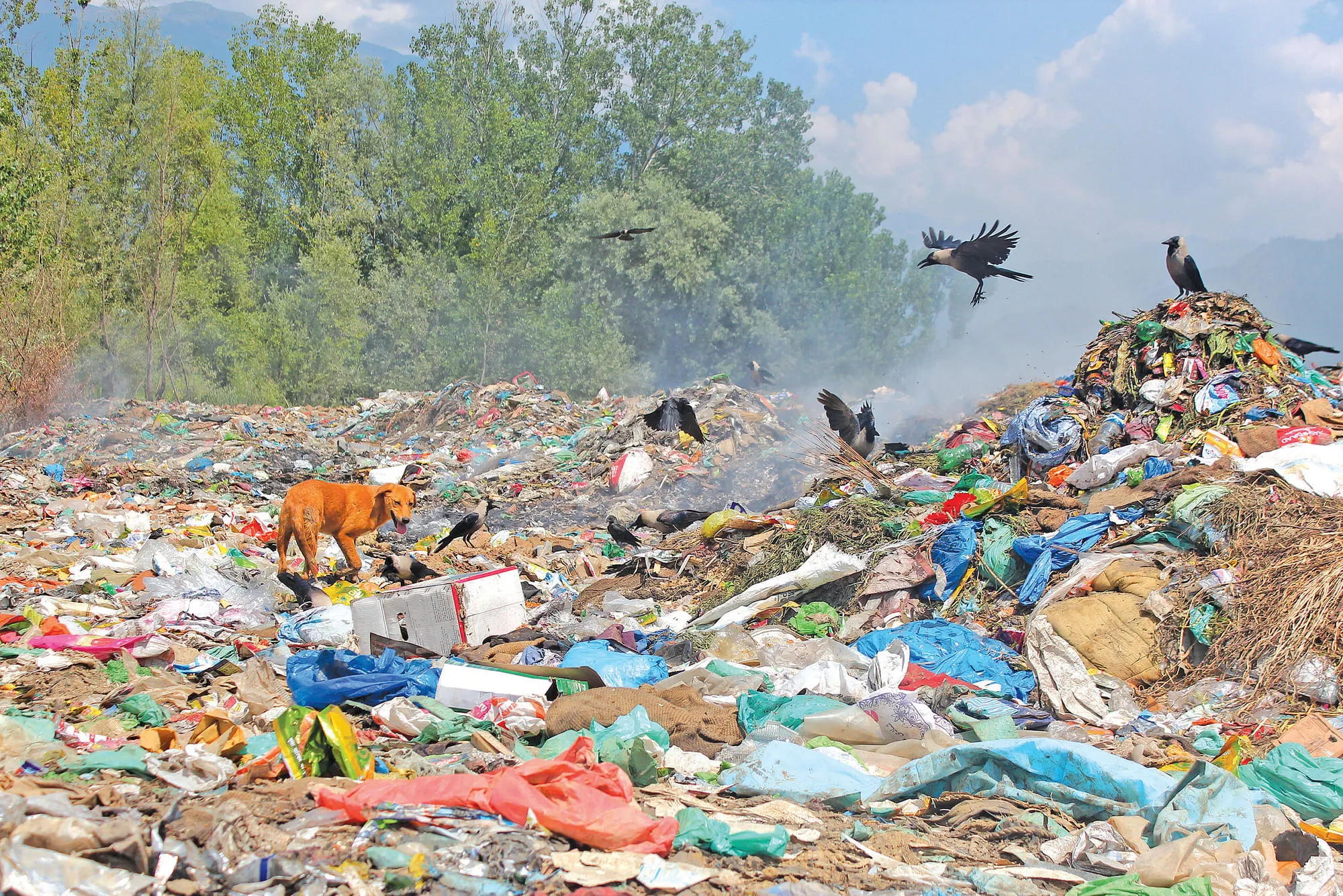
The court was hearing a Public Interest Litigation petition by Central Auqaf Committee Tarzoo-Dharnambal through Advocate Shafqat Nazir seeking a direction to the Municipal Council Sopore to stop dumping of municipal solid waste on the Ramsar wetland in the demarcated area of the Wular.
Terming the dumping of the solid waste within the demarcated area of the Wular Lake a serious issue, the court directed the Municipal Committee Sopore to take steps for removal of municipal solid waste forthwith.
The court asked the Municipal Committee to place on record the site plan before it by September 23.
“We shall also be informed with regard to the notification of the Solid Waste Management Bye-Laws by the Municipal Committee and the fines collected thereunder” the court said.
The Court ordered that a copy of the reply filed by WUCMA be made available to Faizan-ul-Haq Iqbal, Secretary, District Legal Services Authority, Baramulla, within three days, who, it said, shall verify the position and submit a report.
The Court asked Sr AAG , B. A. Dar and AAG and M A Chashoo to coordinate with the Registrar General with regard to “court visit”.
The directions came after WUCMA submitted in its report that the land were the solid waste was dumped is a Wular demarcated land as revealed from Toposheets, Wular demarcation records and revenue extract of Tehsildar Sopore.
With regard to construction in the area, the Authority said: “No such order has been issued in favour of MC Sopore by any authority in terms of above Government order for carrying out such development work. Therefore, the Authority said, the construction is legal and can be treated as encroachment on other departmental land and responsible officers needed to be punished for such delinquency with costs recovered from their Salaries”
The Authority said 836 km boundary line was delineated with the help of serially numbered 1159 boundary pillars of which 100% boundary line- demarcation stands completed.
The description as well as GPS location of all these 1159 boundary pillars, it said, stands recorded and compiled.
“Survey and Demarcation of Wular has been carried out as per the nine demarcation files and maps and besides 24 Masavies obtained from Director Survey & Land Records”.
The authority further said a demarcation Map has been generated by the Department of Environment & Remote sensing Government of J&K based on recorded geo-locations of various boundary pillars. “The total area of the Wular Lake water demarcation comes out to 130sqkm,” the authority said.