
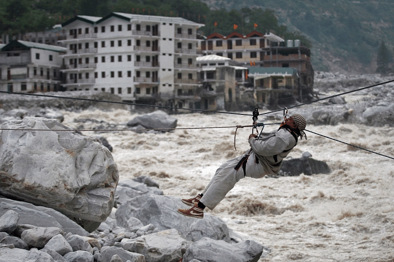


With the changing climate and the human induced stresses on the living environment the threat of disasters is becoming imminent. The trends and pattern of hydro-meteorological and humanitarian disasters is changing, supported by the short term extremes in dry and wet spells all across the world. The recent disaster at Uttarakhand beholds the markers of same trend as the glacial calving event triggered by the snow avalanche with the ominous structural failures. This sort of disaster usually strikes in the monsoon season or during the snowmelt stage but this off-season flood situation has the warning signs for all the high-mountain zones that have the presence of ‘developmental activities’ going on. The Planet Lab satellite imagery clearly showed the rock-slope detachment from Trishuli region and then subsequent breaking. In geography floods (river) are not always disasters they are natural part of hydrological cycle in the feedback system but the unplanned and maladaptive zonation strategies have aggravated the magnitude and intensity of disasters. Factoring in the climatic factors with non-climatic and on the other hand structural and non-structural ones, the need for pro-active and location specific approach is more required.
Kashmir somewhat alike to Uttarakhand in its geographical and geomorphological signatures has the predisposition to the same set of vulnerabilities when it comes to the disaster typologies. There is a place in Uttarakhand named ‘Munsiyari’ situated in Pithoragarh, the easternmost hill district of Uttarakhand, bordering Tibet, which is known as the ‘Little Kashmir’ or “Mini Kashmir of Uttarakhand”. As we have been observing worldwide the sceptic and rather indifferent perception of climate change, its manifestations are vivid in Kashmir too. The example of September floods in Kashmir is still afresh in our collective memories but at the societal and more so at the institutional level the situation is more of a concern than pre-flood event. In hydrologic literature the new term of ‘climitisation’ was originally defined as framing a disastrous event caused by climate change in order to distract the discussion from the real problem which might have different cause. The state has taken the shortcut route of invoking climate change rhetoric when the problems are compounded by the structural and institutional causes. The pre-flood and post flood assessment report from government is still missing and coupled with the data which has the shades of being ‘statist’ in its structure. The story is same for all the disaster management approach in Kashmir. During the 2014 event Central Water Commission-the main agency for flood forecasting in country was caught unawares as there was no full-fledged forecast system available for Kashmir, after so much of the time has passed, the situation is more or less the same. Deliberating on the national scenario of disaster preparedness and management strategy there is still a long way to go. IMD, the agency dealing with the meteorological records in country has still not come up with the sub basin and basin wise forecast which would have been helpful in gauging the flow behaviour of upstream and downstream areas. In this backdrop, Environmental Impact Assessment (EIA) draft 2020 replacing the 2006 notification has weakened the case for environmental protection which led to the nationwide criticism. The United Nations Environment Program (UNEP) defines EIA as a tool to ascertain environmental, economic and social impacts of projects prior to decision-making. This draft intended to bring about a slew of changes to environmental management in the country, which actually compromise environmental protection possibilities being pro-industrial in nature.
In the larger context of climate change there is an urgent need for valuing in the need of forestation, wetland restoration and local water bodies, soil moisture capacity which should be supplemented by the comprehensive hydrologic and disaster impact assessment. These interventions would definitely aid in the regulated and controlled flow regime dynamics in the region. Rivers have always been the best example of being in the quantum states; you never know when ‘extreme’ would hit the catchment. Flood extant and intensity depends upon how soon rainfall converts to runoff and how soon that runoff reaches the river, so greater the capacity of the catchment to hold, store and recharge the aquifer, longer will be the time lag when rainfall reaches the river and creates a flood situation. This always depends on the robust land-use planning in the floodplain region at the localised level which unfortunately is still not being implemented around the Jhelum basin. The same problem triggered and exacerbated the 2014 floods in Kashmir.
In Kashmir mirroring its political uncertainty, environment too has been following the same pattern. For the same, there needs to be the collaborative and meaningful exchanges on the community as well as well as civil society level. There is rather a strange paradox that dominates the public consciousness in our region of the unrequired ‘hype’ on account of the quantifiable expressions of happenings. Strangely this happens mostly in the part of covering glaciers dynamics and the climate events in public domain which are always questionable given the falsifiability and verifiability dimensions of the same.
The multifarious dimension of disaster character demands introduction of public awareness and geoliteracy in schools. There is no other subject more relevant than Geography in understanding the multidimensional nature of disasters due to its multi-disciplinarian character. The subject of Geography which is considered as the template for studying and investigating both natural as well as social aspects of society. It has the unique distinction of being among the few subjects that have the quality of encompassing everything that matters to the overall development and progression of socio-psychological, and geo-environmental aspects as well. Pertinent to mention that positionality and location of Jammu and Kashmir owing to its vulnerable disaster prone topography coupled with the lopsided land-use configurations, the subject of geography chips in there with its methods and analysis for coping up with the same. This timely quintessence as a subject has further enhanced its case for being mainstreamed to the school pedagogy with updated activity based module packages being utilized around the world. But in our region the subject has not been prioritised and involved in the genre of basket of subjects despite its immense applicability and relevance.
The Way Forward
The Uttarakhand disaster should be the wakeup call for Kashmir as we too have seen the pervasive development in the high mountain zones without taking into account the environmental safeguards. Therefore the need of the hour is to reinforce environmental regulations by enhancing the standard of baseline surveys, with inclusive and transparent environmental audit process for all the concerned stakeholders. The spectrum of possessing local knowledge of the environment is swiftly getting extinct too which was considered as the bulwark against any calamity. The anthropogenic pressure and the changing forms of climate change are being more visible in the high-altitude areas acting as the active interface of the impacts. The vulnerability hotspots need to be delineated and pre-emptive measures need to be implemented with action-oriented decision making. Technological interventions with flood forecasting and efficient rainfall prediction system needs to be upgraded and made available at the local level with the early warning system in place. The most important takeaway from all the disaster like situations have been in strengthening the collaboration between individual/community knowledge and academic expertise on this immediate issue of changing patterns of climate change and the response of environment too.