
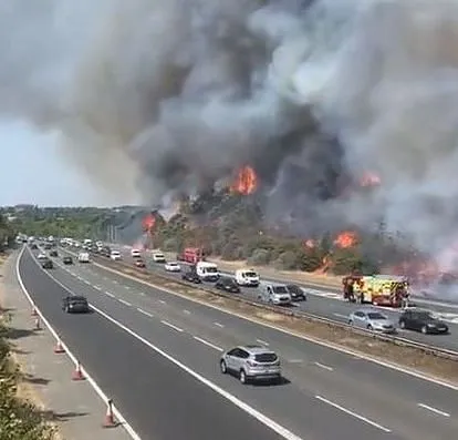


London: The UK has recorded its hottest ever temperature, passing 40 degree Celsius for the first time. But you can’t deny it had fair warning.
The Met Office issued an amber weather warning six days before the heatwave and upgraded it to red three days later, enough time to trade cooling-down tips with friends and stock up on ice lollies.
It’s easy to take modern weather prediction technology and warning systems for granted, but the new advancements save lives.
The most well known weather forecast failure in UK history happened 35 years ago.
Hours after veteran weather presenter Michael Fish said there was no hurricane coming “but it will be very windy in Spain”, the a devastating storm raged across the country and claimed 18 lives.
A huge amount has changed since 1987. Weather forecasts are more precise, reliable, and better communicated. Re-analysis shows that in 2022 the 1987 storm would be noticed a few days ahead, but there would have likely been uncertainty. An amber warning would probably have been sent out and the storm would have been named, alerting the public. So how exactly has forecasting improved?
The real change is in people’s experience of extreme weather. For example, Storm Eunice in February 2022, which broke the English wind gust record at 122 miles per hour. The storm was forecast days ahead, with a rare red warning issued the night before. (The Conversation)