
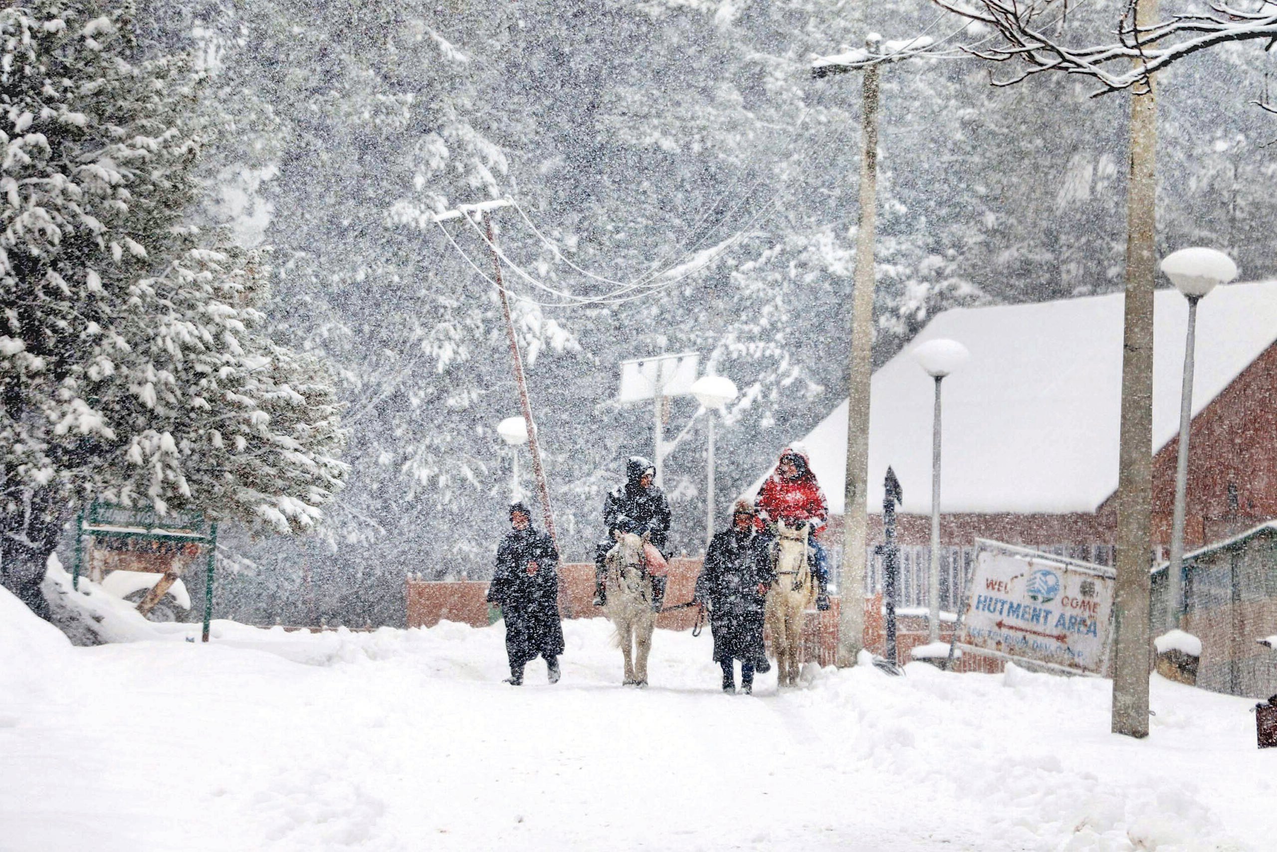


Srinagar, Oct 15: The Metrological Department Sunday predicted widespread rain and snowfall at many places and in Jammu and Kashmir and said even heavy snowfall could not be ruled out in the higher reaches on Monday.
“Widespread intermittent light to moderate rain and snowfall over the higher reaches is very likely at many places. Heavy snowfall at some places over the higher reaches cannot be ruled out and there are 75 percent chances of that,” the MeT said in its daily bulletin.
“Light rain and snow over the higher reaches is very likely at scattered places of J&K,” it said. “Light rain and snowfall over higher reaches is likely at scattered places on Tuesday and improvement in weather is likely from Wednesday.”
The MeT said that a significant drop in temperature was recorded in J&K.
The weather station has also advised farmers to postpone harvesting crops till October 17 and that there may be temporary disruption of traffic at vulnerable places like Zojila, Mugal Road, Sinthan Top, and Sadna Top.
The minimum temperature recorded at Srinagar was 8.6 degrees Celsius and it also received 0.3 mm rainfall during the past 24 hours till 8:30 am on Sunday.
The tourist hot spot of Pahalgam in south Kashmir had a low of 4.5 degrees Celsius, Kokernag 7.3 degrees Celsius and it also received 0.6 mm of rainfall.
“The ski resort of Gulmarg in north Kashmir recorded a low of 2.8 degrees Celsius and it also received 0.6 mm of rainfall during the past 24 hours,” the MeT office said.